
Looking Up Manteca Neighbors by Block
A block lookup needs a source map. The table shows what each layer can add and where access stops. It keeps the Manteca neighbors question tied to a parcel, record, or public organization rather than a guessed roster.
| Source | What it shows about a block | Access |
|---|---|---|
| County GIS parcel layer | Parcel shapes, order, APNs, selected public attributes, districts | Free map browsing and parcel links |
| Assessor property record | Owner or assessee, situs, mailing destination, property facts | Address, assessment, or fee-parcel route; counter help |
| Recorded deeds | Ownership changes and legal-description links parcel by parcel | Party and instrument index; copies at the Recorder |
| Manteca permits | Work chronology, applicants, contractors, and nearby job addresses | Accela; older files through Development Services |
| Voter file or walking list | Address-ordered registered voters for an approved statutory purpose | Application, ID, signature, security, and use limits |
| Neighborhood and civic groups | Public officers, contact channels, events, or business connections | Public organization pages; private member lists are not open |
The block-level sources overlap, but they do not merge automatically. A public owner record, a permit contact, and a civic organization contact can all relate to one area without describing the same person.
Click Around Manteca Block Parcels
The San Joaquin GIS mapping entry point supports a parcel-by-parcel method. Search the anchor address, zoom to the selected polygon, activate the Parcels and City Limits layers, and click adjacent polygons. Save each APN and the map link. The parcel service exposes OBJECTID, APN, LINK, tax-rate area, business code, and value-roll year, with 2,000 records per query. It does not expose an owner-name roster.
- Choose one anchor address and verify its ZIP with USPS if the postal city is unclear.
- Select the parcel in GIS and record the APN, legal-lot context, city-limit layer, and nearby intersections.
- Click the next parcel, keeping each APN in a separate note instead of making a blended list.
- Use the assessor address or parcel route to review owner, situs, and mailing fields for a particular parcel.
- Use the Recorder or permit system only when the question concerns a title event or project chronology.
This process maps the block. It does not make every person near the anchor a Manteca neighbor in a legal or factual sense.
Separate Mapped Parcels from Manteca People Records
The GIS layer is a geography tool. The assessor is an ownership and assessment tool. The Recorder is an instrument tool. A voter file is a restricted election product. Keeping their names apart prevents a map click from turning into a people-radius search.
The public parcel record may show APN, Property Address, Parcel Status, Owner Name, Mailing Address, Legal Description, values, use code, tax-rate area, sale history, transfer amount, and building characteristics when present. It may not show every household member, a visitor, a protected participant, or a private service customer.
When a mailing destination differs from the situs, record both. The difference can reflect an agent, entity, post office box, or another property. It is a clue for the owner trail, not proof of where a neighbor lives.
Map rule. Keep one APN per note. A block is a set of parcels, not one combined personal record.
Manteca Neighbors and Address Fields
Owner information becomes more useful when the address fields are labeled. Situs is the physical parcel. Mailing is the address used for tax or official correspondence. APN identifies the assessor parcel. Legal description defines the land. ZIP Code routes mail. These can point to different geography even on the same block.
Use the San Joaquin property-information route with Address, Assessment number, or Fee Parcel number. The landing page does not advertise a public web owner-name mode. Ownership and name-and-address questions route to (209) 468-2652.
Then open the county parcel map and compare the city-limit or county-limit layer. Manteca's 95336 and 95337 postal areas overlap the city's practical geography without acting as a survey line. The ZIP is a delivery clue; the parcel and boundary layer answer a different question.
Use Manteca Permits to Read Blocks
Manteca Accela Citizen Access reports reliable electronic coverage from January 1, 2015. Anonymous users can view existing records; registration adds application history, invoices, and receipts. Building, planning, and public-works search modules can show a project description, licensed professional, permit contacts, expiration, review status, and inspections.
That information explains physical change on a block. A new inspection or permit can establish that work was reviewed. It cannot establish when a person moved or who was present every day. Applicant, owner, contractor, and professional roles must stay separate.
Archived pre-2015 permits and some planning applications may require Development Services at 1215 W. Center St., Suite 201. Building Safety uses (209) 456-8550. For a city record not already posted, make a focused California Public Records Act request with the site address, parcel, department, record type, and date range.
Manteca Neighbors and Civic Geography
Manteca's four council districts create a public geography layer around a block. The City's January 2025 district map shows current streets and newer subdivision areas, but its own warning says it is informational and not a survey or engineering document. Use it to understand civic context, not to create a list of Manteca neighbors.
Districts can explain which public meeting agendas, council records, or service questions may mention an area. They do not disclose household membership. Pair the map with parcel and city-limit layers, then check the city record custodian for an existing agenda, staff report, or permit.
Open the January 2025 Manteca council-district map before relying on a cross-street reference.
Manteca Neighbors and Community Contacts
Community organizations can add a human and civic layer to a block search, but their public contact channel is not a private member roster. The Downtown Manteca Improvement Association connects to public district proceedings and business or property discussions. The Chamber directory identifies public businesses and contacts. The Historical Society can point to photographs and local-history material. Faith and service groups can offer referral or event information without exposing membership.
Downtown Manteca Improvement Association
Public downtown district and civic-property context
Barbara Harb
(209) 456-8030
bharb@manteca.gov
Manteca Chamber of Commerce
Public member directory for businesses and contacts
Not a household or neighbor list
Manteca Historical Society and Museum
Local photographs, documents, family and organization context
(209) 825-3021
Community and service groups
Greater Manteca Ministerial Association, Manteca Interfaith Community, Punjabi American Association, Sikhs for Humanity, El Concilio, HOPE Ministries, and Love INC
Public officers, events, and contact details can be cited. Private membership directories, congregation lists, block-watch rosters, and utility customers should not be sought or republished without authorization.
Open the Downtown Manteca updates for the public district layer.
Manteca Neighbor Voter Limits
My Voter Status authenticates a person checking their own registration. It is not a public by-name or by-street search. A San Joaquin voter-file request requires an approved political, election, scholarly, journalistic, or governmental purpose, original signature, photo ID, security details, and controlled delivery. The county states 7 to 14 business days for review.
Elections Code section 2194 and Government Code section 7924.000 limit access and protect street address, phone, email, prior registration, identification numbers, and signatures except as authorized. An approved product may include participation history, but never how a person voted. Election data should not be used to assemble a casual block directory.
Use the California voter status tool only for its personal authentication purpose and read the Elections Code rule before any file request.
Manteca Neighbor Tools Compared
Commercial compilation tools may combine public and purchased data, merge same-name people, omit the source trail, and carry stale addresses. Official sources can also contain errors, but they identify the custodian, record type, coverage, and correction path. Compare the categories before trusting a result.
| Category | Strength | Limit |
|---|---|---|
| County parcel and deed records | Named custodian, APN, legal description, instrument trail | Owner and title facts do not equal every household member |
| City permit and public documents | Project, applicant, contractor, address, meeting context | Activity does not set a move date |
| Public community pages | Officers, contacts, events, and business links | Public contact is not membership proof |
| Commercial compilation category | May offer a broad starting clue | Source, freshness, identity match, and lawful use need review |
A Manteca neighbors search should prefer the official source that matches the question, then verify the result with the custodian.
Privacy Limits on a Manteca Neighbor Lookup
No public source reliably shows every person who shares a parcel, every visitor, private utility customer, protected participant, or household member. Safe at Home can provide a substitute mailing address and confidential voter registration for eligible people. A redaction or mismatch is not a reason to hunt for a hidden address.
San Joaquin County's February 2026 Recorder Notification and SB 255 announcement describes stronger notification protection for deeds, quitclaims, mortgages, and deeds of trust affecting ownership. Notice within 30 days and coordination with the Recorder, District Attorney Real Estate Fraud Unit, and Board add a current property-safety layer.
Open the San Joaquin real-estate fraud protection update for the public announcement.
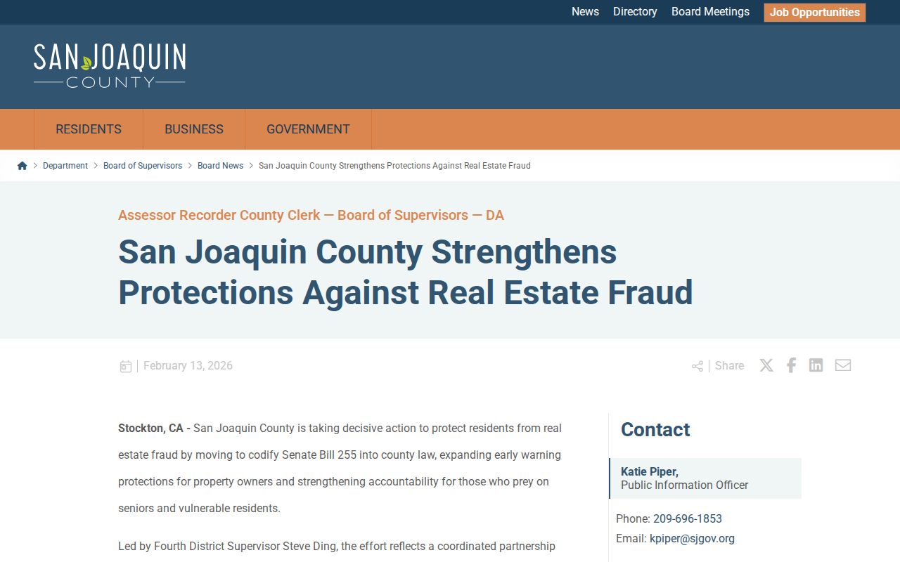
The notification update shows why ownership records deserve a custodian check and a fraud-aware reading.
Lawful use. Use Manteca neighbors information for parcel research, civic curiosity, family history, and lawful personal purposes. Do not use it to stalk, harass, intimidate, or harm anyone.
For the full named-street chain, use the Manteca street directory. The block view should end with the block's source limits, not a private roster.