
Manteca ZIP Codes and Their Coverage
The verified ZIP core for Manteca is small, but the boundary is not simple. The city's 2017 to 2021 ACS analysis says 95336 and 95337 cover Manteca and reports that about 91.6 percent of their combined population lived inside the city. The remaining share is a reminder to check the parcel and municipal boundary for a particular address.
| ZIP | Areas and anchors | Post office route | Notes |
|---|---|---|---|
| 95336 | North and central anchors include Manteca Library at 320 W. Center and fire stations on Powers, Louise, and Lathrop | Manteca Post Office, 165 N. Maple Ave., Manteca, CA 95336-9998, (209) 239-7027 | Not a simple north ZIP; central and west sites use it |
| 95337 | South, east, and west-central anchors include City Hall at 1001 W. Center, Station 2 on S. Union, and Station 5 on E. Woodward | Industrial Park facility, 668 Industrial Park Dr., Manteca, CA 95337-9998 | Includes downtown and west-center City Hall, newer growth, and outside-city routes |
No official source located in research published neighborhood polygons, split dates, PO-box-only ZIPs, unique institutional ZIPs, or per-ZIP registration totals. A postal directory should say that plainly rather than pad the table with nearby Lathrop or Ripon codes.
Verify a Manteca ZIP Code with USPS
The USPS ZIP Code Lookup is the right first stop for delivery geography. Enter the address, inspect the returned ZIP, and save the result with the date checked. USPS assigns a ZIP for mail delivery, not for a city-limit decision. A “Manteca” postal city can reach beyond the incorporated boundary, while a parcel question belongs with county GIS and the city or county record custodian.
Use the official address lookup instead of guessing from a street's north, south, or downtown label. The Library at 320 W. Center is 95336, while City Hall at 1001 W. Center is 95337. Those two central points show why the Manteca ZIP code directory needs a verified address, not a neighborhood shortcut.
Open the USPS screen before moving to the county property-information route.
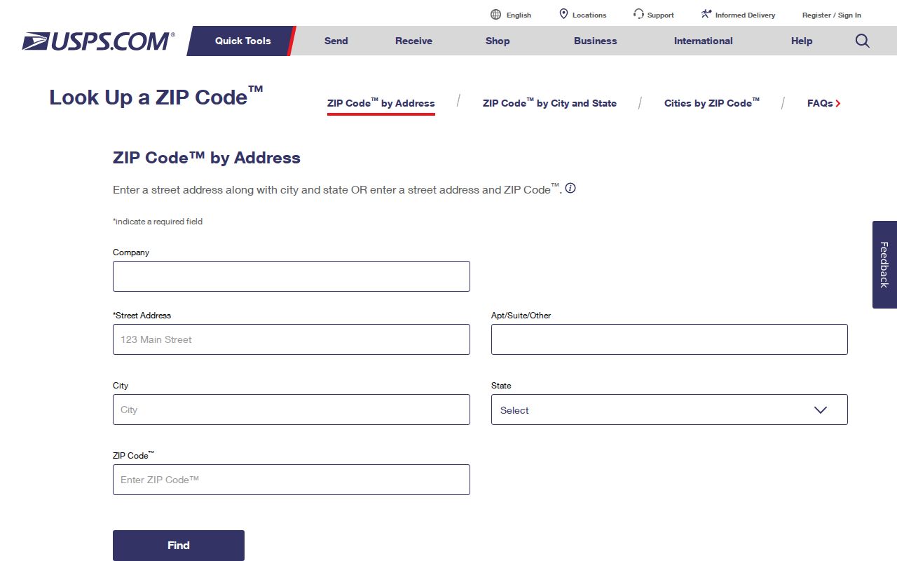
The USPS result is a delivery check. It does not identify the parcel owner, city department, or household.
Finding Residents by Manteca ZIP Code
A ZIP code directory workflow can narrow a broad question, but local portals do not all accept ZIP as a search key. Use the following order and record which source answered which part.
- Verify the full address and ZIP with USPS, including the postal city returned by the official tool.
- Run the address, assessment number, or fee parcel number through the San Joaquin assessed-value route.
- Open the county GIS viewer and inspect the selected parcel, APN, city-limit layer, and adjacent polygons.
- Choose the custodian based on the record: county Recorder for instruments, Manteca for permits, or Registrar of Voters only for an approved purpose.
- Once a ZIP narrows to a street, use the Manteca street directory by address workflow for parcel-level work.
The assessor landing page documents Address, Assessment number, and Fee Parcel number as alternative keys. It does not advertise a public web owner-name mode or promise a ZIP-wide resident export. The GIS parcel service exposes parcel and district attributes, not an owner-name list. Do not invent a ZIP filter because a form accepts an address.
Manteca ZIP Search Fields and Portal Limits
ZIP granularity is useful only when the portal exposes a real ZIP field or when the address is converted to the portal's supported key. The research captured the following working map of local search options.
| Portal | Known field or mode | ZIP behavior | Use |
|---|---|---|---|
| USPS ZIP Lookup | Street address | Returns delivery ZIP and postal city | Verify mail geography |
| Assessed Value Lookup | Address, Assessment number, Fee Parcel number | No advertised public ZIP-wide owner mode | Convert address to parcel and owner clue |
| County GIS | Map search, parcel click, layers | Parcel and boundary layers; not owner name | Check city limit and nearby parcels |
| Voter status | Personal name and authentication fields | Not a public ZIP search | Check one's own registration |
| Voter file request | Requested geography and product | Purpose, ID, signature, and security limits apply | Approved election data only |
The distinction protects search accuracy. A ZIP field, where a live portal offers one, is not a substitute for an APN or legal description. If a form changes, capture the current label instead of relying on a remembered option.
A ZIP-wide question often needs a two-stage conversion. First turn the full mailing address into a verified ZIP and postal city. Then turn that address into the county's supported parcel key. The assessor may return an assessment number or fee parcel number rather than a ZIP result. GIS may show a parcel and boundary layer without revealing an owner. The Registrar may accept a requested geography only through an approved election product. Those are different outputs, even when each starts with the same street address.
Do not count a form's city or ZIP text as a live filter unless the search actually returns a documented record set. A postal directory can describe the route and the portal limits, then hand a narrowed street to the address workflow.
Manteca ZIP Code Boundaries Versus City Limits
ZIP, city, parcel, and legal-description boundaries answer different questions. ZIP Code routes mail. The incorporated limit decides whether Manteca municipal records are the likely custodian. The parcel layer shows land geometry. The legal description controls continuity in deeds and plats. A Manteca postal address can therefore lead to a county permit, a city permit, or a county property record depending on the parcel's jurisdiction.
- ZIP Code
- A postal delivery area assigned by USPS; it is not a legal city boundary.
- ZIP+4
- An added delivery segment used by USPS to refine a mailing address beyond the five-digit ZIP.
- PO-box ZIP
- A ZIP used for post-office box delivery; no official Manteca example was confirmed in the research.
- Unique ZIP
- A ZIP assigned to one institution or organization; no official Manteca example was confirmed.
- Carrier route
- A delivery path within a postal area, not a parcel or household boundary.
Use San Joaquin GIS for the city and county layers. Use USPS for the ZIP. Use the assessor and Recorder for property continuity.
Manteca Growth Makes ZIP Assumptions Fragile
Manteca sits at State Routes 99 and 120 between Stockton, Tracy, Lathrop, and Ripon. Older sources may use rural San Joaquin County or nearby postal descriptions. New subdivisions can appear first in planning files, GIS, deeds, or permit records before a neighborhood label feels settled. Oakwood Lake and Weatherbee Lake appear in county development material, reinforcing that postal Manteca does not guarantee city permit jurisdiction.
City history describes an irregular north-south grid by incorporation in 1918 and later annexations tied to urban-service demand. That history creates a records-geography issue: a ZIP may look stable while the parcel's municipal context changes. A Manteca ZIP code directory should therefore label its coverage as postal, not municipal.
The county's Census QuickFacts page can add current demographic context when its vintage is labeled. It should not be used to infer a household or identify a person at a ZIP level.
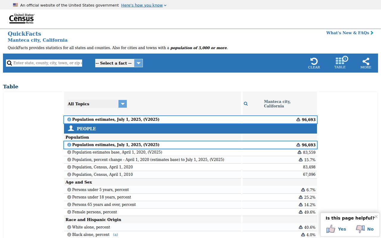
The QuickFacts screen is a city-level context source, not a ZIP roster. Keep its population and household measures separate from parcel and person records.
Manteca Address Fields Beyond ZIP
A ZIP code directory result becomes useful when its address fields are kept distinct. Situs is where the parcel sits. Mailing is where a tax bill or official notice goes. APN is the assessor's parcel identifier. Legal description is the written land definition. ZIP is postal routing. These fields can agree, but they do not mean the same thing.
For a current Manteca address, save the USPS result, assessor key, APN, city-limit layer, and legal description. For an older address, search Cowell Station, rural route, township and range, subdivision, and neighboring household terms. The legal description can carry the trail across a street label or parcel-number change.
That is why ZIP work should hand the detailed parcel chain to the street directory rather than rebuild it. ZIP narrows the geography. The parcel and deed sources establish what the geography means.
The same rule applies to public records requests. A request that names only a ZIP may be too broad or may ask an office to create a new list. Name an existing record series, a date window, and the address or parcel fields that make the request identifiable. Manteca municipal material goes to City Hall; county property and deed material goes to San Joaquin County. That custodian split matters even when every mailing address says Manteca.
Manteca ZIP Data and Privacy Boundaries
A ZIP code is broad enough to be useful for delivery and demographic context, but broad geography does not make person-level data open. California voter information remains purpose-limited. Safe at Home can protect an eligible person's mailing and voter information. A private data-broker deletion request does not change a county parcel, court, deed, or vital record.
The California Attorney General's CCPA guidance explains consumer-privacy rights and limits for private businesses. Use it with the official custodian rules, not as a way to build a ZIP-wide personal roster.
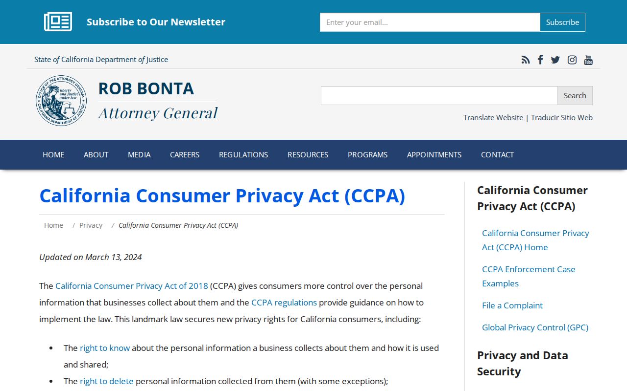
The privacy guidance belongs beside the ZIP discussion because broad postal geography does not remove a person's records protections.
Lawful use. Use ZIP information for delivery checks, public geography, family history, and records routing. Do not use a Manteca ZIP code directory to stalk, harass, intimidate, or harm anyone.
When the ZIP narrows to a particular address, record only the public fields needed for the lawful question and verify with the correct custodian.