
Walk a Manteca Street to Its APN
A street directory search works best as a chain. The Assessor supplies the parcel anchor. GIS shows the shape and adjacent polygons. The Recorder connects the owner name to instruments. Permits add a dated work history. A reverse directory or census schedule can add a historical household clue. The sequence below keeps each step tied to a custodian and avoids treating one field as a complete answer.
- Normalize the street number, street name, city, and ZIP. Try the county's spelling and the postal spelling if they differ.
- Run the address, assessment number, or fee parcel number through the San Joaquin property-information route.
- Record the APN, owner or assessee, situs, mailing destination, legal description, and value-roll year shown by the parcel record.
- Open the San Joaquin GIS viewer, select the parcel, and note the APNs of nearby polygons and the city or county layers.
- Use the current owner's name in the Recorder grantor-grantee index, then follow the seller as an earlier grantee to walk backward.
- Check Manteca permit records for project dates and contacts, then turn to a reverse directory for a publication-year household clue.
The address trail is strongest when the APN and legal description stay in the notes. Address formatting changes more easily than the land description.
Manteca Street Parcel Search Fields
The public San Joaquin assessed-value form begins with an acceptance notice and documents three alternative keys: Address, Assessment number, or Fee Parcel number. The landing page does not advertise a public web owner-name mode. That asymmetry is a key Manteca street directory fact. Do not infer an owner-search control that the live page does not show.
| Field or mode | Type | Required | Format and use |
|---|---|---|---|
| Address | Text or address fields | Alternative key | Street number and name; city or ZIP may be offered |
| Assessment number | Formatted number | Alternative key | Use the county's displayed assessment format |
| Fee Parcel number | Formatted number | Alternative key | Parcel route when the address is unclear |
| Owner or assessee | Name help or office channel | Not advertised online | Call ownership help at (209) 468-2652 |
| Search or reset | Button | Live control | Confirm labels and options on the current form |
When a property page returns an APN, compare it with the GIS record. Parcel data can include Property Address, APN, Parcel Status, Owner Name, Mailing Address, Legal Description, values, use code, tax-rate area, sale history, transfer data, and characteristics when present.
Open the San Joaquin property-information entry point before using a street directory result.
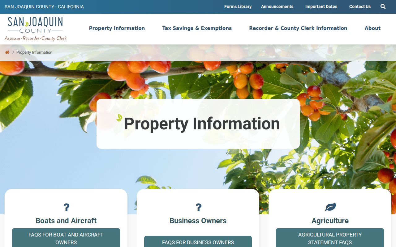
The county property screen is the address-to-parcel starting point. It does not replace the Recorder or prove who is present at the parcel.
- APN
- The assessor's parcel number, used to keep a land record tied to a parcel unit.
- Situs address
- The physical location of the parcel, distinct from the mailing destination.
- Legal description
- The written land definition that can remain useful when an APN or street label changes.
- Assessee
- The person or entity listed for assessment purposes, not automatically every household member.
Manteca Streets in the GIS Parcel Viewer
The San Joaquin County GIS mapping entry point supports a map-first street directory. Search an address or place, zoom to the selected parcel, activate layers, and click nearby polygons one at a time. The parcel service exposes OBJECTID, APN, LINK, tax-rate area, business code, and value-roll year, with a 2,000-record query limit. It is a parcel adjacency method, not a people-radius search.
Useful layers include Parcels, Parcels for Mailing Lists, Unincorporated Communities, Spheres of Influence, PLSS Sections, Flood Zones, Legal Lots, APN Book Index, Intersections, City Limits, Supervisorial Districts, and County Limit. The city-limit and county-limit layers help explain why a Manteca mailing address can lead to a county record or a city record, but the viewer does not become an owner-name directory merely because a parcel is clickable.
For each adjacent polygon, save the APN and link. Compare the parcel's situs with its mailing destination, then use the Recorder only when a title or conveyance question calls for it. This method creates a defensible map of a block without turning map proximity into an unsupported identity claim.
View the county parcel viewer record to see the service behind the map.
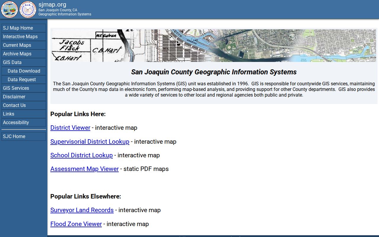
The GIS image illustrates the parcel-by-parcel approach. Record the parcel link and layer context before moving to another source.
Manteca Records Searchable by Address
Not every record begins with a street name, but several sources can be tied back to an address after the right identifier is found. This coverage table separates what the record can show from the route that provides it.
| Record set | Keeper | Address connection | Access |
|---|---|---|---|
| Assessor roll | San Joaquin Assessor | Situs, APN, owner or assessee, mailing clue | Address, assessment, or fee parcel route |
| GIS parcel layer | San Joaquin GIS | Parcel shape, APN, adjacent polygons, districts | Free interactive map |
| Deeds and liens | San Joaquin Recorder | Legal description, party names, instrument trail | Online party index and counter |
| Permits and code cases | Manteca Development Services | Job or site address, project contacts, work dates | Accela and older counter files |
| Reverse directory | Library or archive | Street and number in a publication year | Reference or local-history inquiry |
| Voter product | Registrar of Voters | Address-ordered data only for an approved purpose | Application, ID, signature, and security plan |
The parcel number ties the property roll to GIS and can help bridge to deeds. The publication year ties a reverse directory to a historical address. The voter route is purpose-limited and should never be treated as a casual street roster.
Manteca Street Deed Records
The Recorder's online grantor-grantee index begins January 1, 1968. The office says research and records reach back to 1851 through digital, film, book, and map holdings. Search by party name, document number, book and page, recording date range, or document type. The county reports 168 recorded-document types, while the live dropdown remains the authority for its current labels.
Start with the present owner or assessee from the parcel record. Find the acquisition instrument, capture the recording date and parties, then search the seller as a prior grantee. A grantor is a person transferring an interest; a grantee receives it. A reconveyance can name a trustee and beneficiary who are not necessarily owners. An abstract of judgment may show a debtor's last known address even when that person owns no county parcel.
Images and indexes have different roles. The index is a finding aid. A document image or counter copy can expose the legal description, return or mailing address, notarization, APN reference, and redacted sensitive numbers. Ask the Recorder for an instrument number, recording date, document type, party names, and book or page when the online result is thin.
The city directory collections page carries the historical shelf and reverse-directory method; the Manteca city directory collections link belongs here when the deed trail needs an occupancy clue between conveyances.
Note: A clean title chain proves recorded transfers, not the date a household arrived or left.
Manteca Street Tax Data Is Not a Roster
A tax-roll owner is useful because the parcel record is an address anchor. It is not a complete household record. The mailing destination may belong to an agent, entity, post office box, or another property. A parcel may have several people associated with a deed, while the public card may show one assessee. That is why a Manteca street directory needs careful labels for owner, assessee, mailing clue, and unverified occupant.
Carry the parcel forward. Save every APN, legal description, and instrument number. A lot split, merger, subdivision, or address change can make a current APN a dead end while the legal land trail continues.
The lawful route is to use public property facts for family history, property research, records verification, and civic curiosity. Do not combine map proximity and public names to create a personal list for harassment. If a person qualifies for Safe at Home, an apparent address mismatch may reflect a protected substitute address.
Manteca Permits and Project Addresses
Manteca Accela Citizen Access gives a second address layer. The city reports reliable electronic coverage from January 1, 2015, although some earlier permits appear. Anonymous users can view existing records. Free registration adds full application history, invoices, and receipts. Building, planning, and public-works modules can expose a project description, licensed professional, permit contacts, review status, expiration, and inspection history.
A permit tells a street directory when work was proposed, reviewed, inspected, or closed. It does not tell when a person moved, who stayed at a place, or whether an applicant was the owner. Development Services at 1215 W. Center St., Suite 201, is the fallback for archived pre-2015 material and some planning applications. Building Safety uses (209) 456-8550 and MantecaPermits@manteca.gov.
Use the city document portal for published council records, ordinances, resolutions, contracts, and staff reports. For a record not posted online, a focused California Public Records Act request should name the department, site address or parcel, record type, and date range. The city may clarify a request, but it does not have to create a new record.
Manteca Street Business Records
A street can contain a business, licensed professional, regulated premises, or entity filing. These sources can explain a public address or provide a cross-check, but an agent or license address is not automatic residence evidence. Confirm the entity number, filing date, board, license number, or premises before joining two same-name records.
The California Secretary of State bizfile Online accepts an entity name or entity number. Basic name search uses a minimum of three characters and contains behavior. Advanced controls can add starts-with, status, entity-type, or group filters. Results may show entity name and number, jurisdiction, type, status, formation or registration date, principal and mailing addresses, agent information, and free filing PDFs.
The California Department of Consumer Affairs license search can use a board or bureau, license type, person or business name, license number, city, or county. A result can show license status, issue and expiration dates, address as legally displayed, and discipline links. The California Megan's Law site has a distinct public safety purpose and use warning. It is not a resident directory.
These secondary address sources belong in a street directory only when the distinction is explicit. They can document a public business or regulated record at a location. They cannot fill in a private household roster.
Open the Secretary of State business search to compare the entity-name and entity-number routes.
The business search screen is a useful address cross-check when a street parcel also carries a public entity filing.
Open the DCA license search for the board-specific fields.
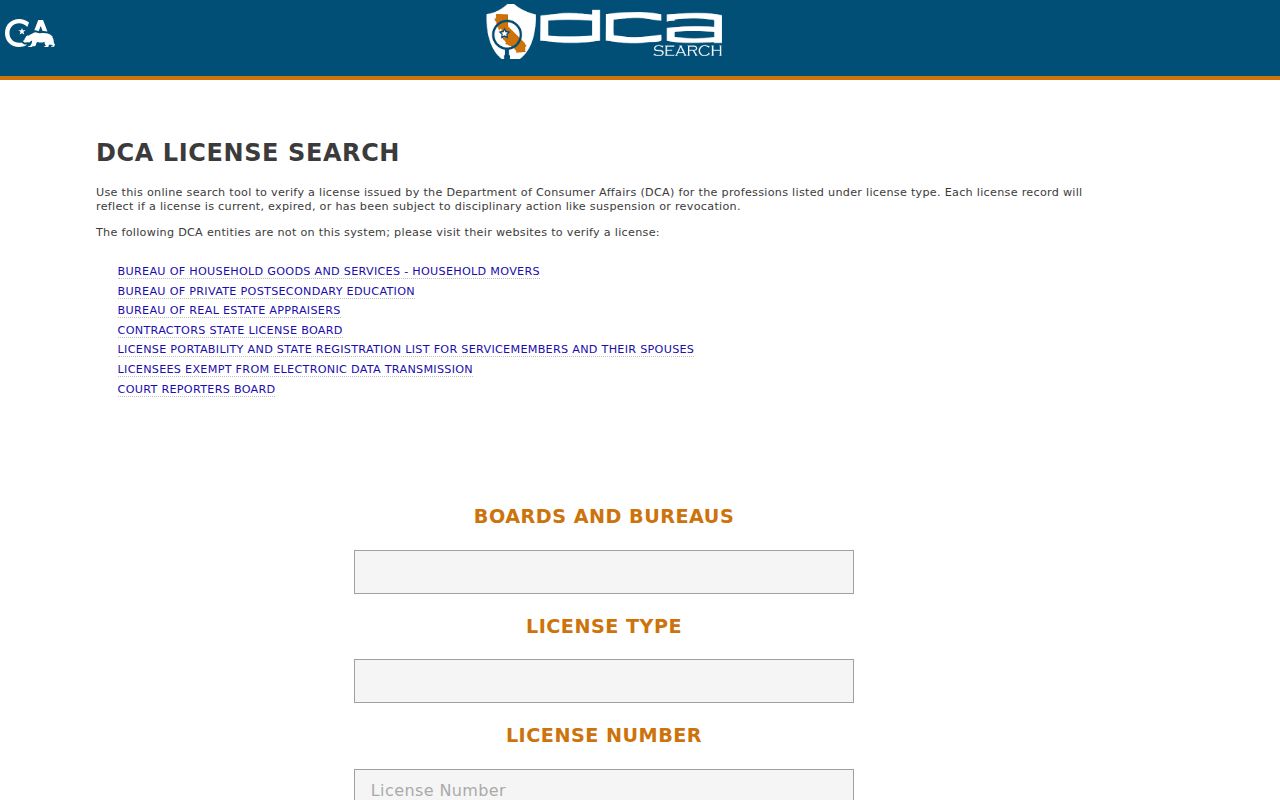
A license result should remain labeled as professional or business affiliation, never as proof of a home address.
Manteca Street Postal Boundaries
ZIP delivery and parcel jurisdiction answer different questions. Manteca's supported ZIP Codes are 95336 and 95337, but the city's 2017 to 2021 ACS analysis places about 8.4 percent of the combined population in those ZCTAs outside the incorporated city. A street directory should verify a ZIP with USPS, then use GIS and the city or county boundary layers.
Older Manteca records can use rural routes, township and range, ranch names, subdivisions, or Cowell Station rather than a modern street label. The legal description and plat are better bridges across that change than a postal city alone. A street number can also be revised while the land description remains legible.
For a ZIP check, use the USPS address lookup. For a parcel check, use the county GIS viewer. For a municipal record, use the Manteca City portal. Keeping those paths separate prevents a postal match from sending a reader to the wrong custodian.
What a Manteca Street Directory Cannot Show
No public street directory reliably lists every household member, private utility customer, motor-vehicle address, protected participant, or person who simply visits an address. The Driver's Privacy Protection Act limits motor-vehicle data. California voter files are purpose-limited. Neighborhood group rosters and private block-watch lists are not open substitutes for a public parcel record.
The official registry search has its own legal warning and exclusions. Its existence does not make a nearby name a neighbor match. A public safety registry, court party, business filing, license, or deed needs the same two-attribute check as any other record.
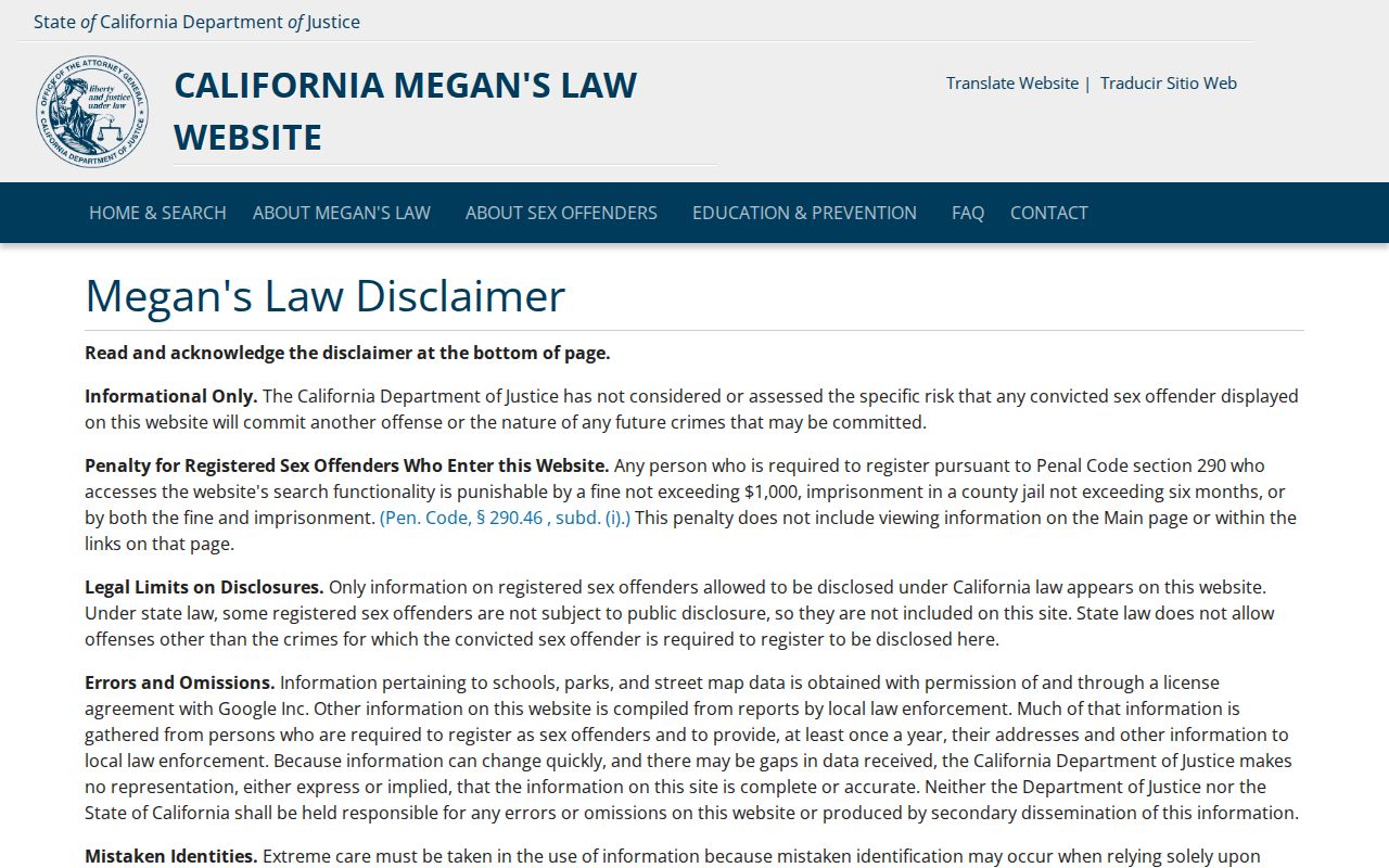
The registry image belongs in the limits section because it shows a specialized public tool, not a general Manteca street directory.
Lawful use. Address and parcel records may support personal, lawful research. Do not use them to stalk, harass, intimidate, or harm another person.
When the goal shifts from a whole street to one person, the Manteca resident lookup route uses a different verification order. Keep the street directory focused on address-keyed records and their limits.